Wednesday July 31st, 1918
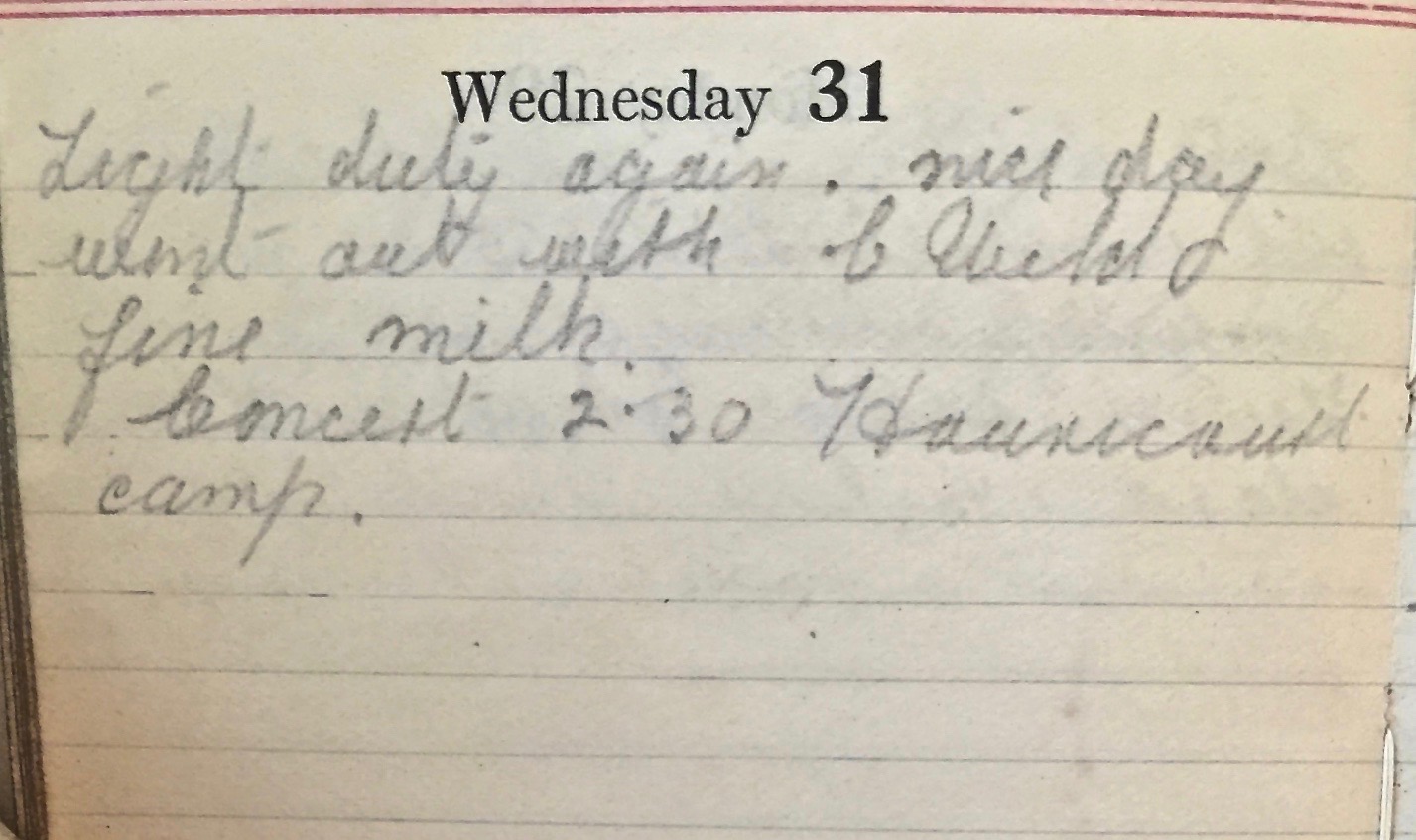
Light duty again. Nice day. Went out with C Ward. Fine milk. Concert 2:30 Haudricourt camp.
Brigade Training Ground
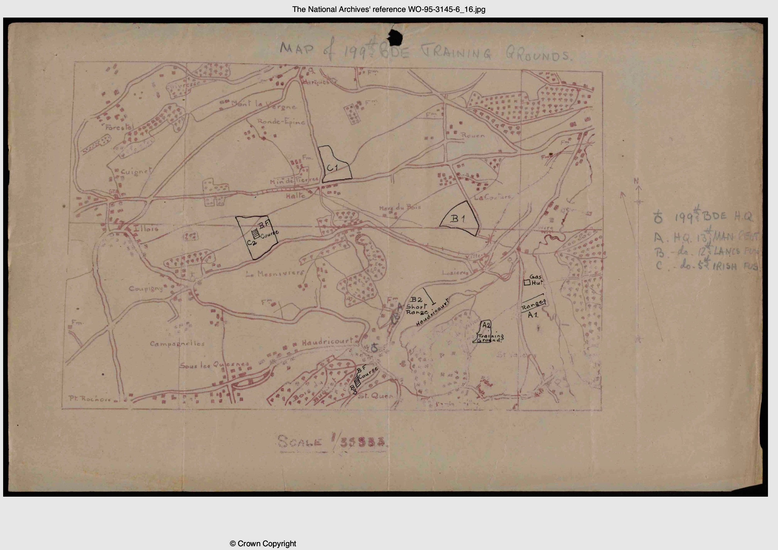
The following is a map taken from the BWD¹ and mentioned today. It shows the 199th Brigade’s Training Grounds. The area is roughly 6km². The Brigade HQ is shown towards the bottom of the map in the middle, just beside Haudricourt. The training ground for the 13th Manchester is labelled A2, and to the bottom right of the map on the outskirts of the Bois de Villiers. The musketry range is labelled A1 and appears in the lower right of the map, just below the gas hut and above Saint Valery.
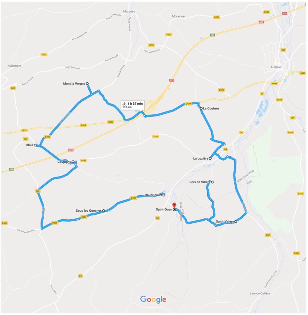
The following map from Google², shows the area as it appears now. Many of the major roads shown above are now local ones.
Spanish Flu
Lt-Col Morrell reports that his Battalion has enjoyed relatively good health this month, presumably helped by the daily Quinine Parade. Unfortunately over the past couple of weeks, about a third of the Battalion (almost 300 men) have had ‘a kind of influenza’. Almost certainly this is the notorious Spanish Flu, which has been rife on both the home and Western Front this summer.
13th (Service) Battalion War Diary – 31st July 1918 – Haudricourt, France
Work as per programme. Lt W Trevivian returned from leave. The GOC 199 Infantry Brigade inspected the Regimental transport at 11:30am. Map of 199th Brigade training grounds is attached (Appendix No 4).
The effective strength of the Battalion is 26 Officers and 803 other ranks.
The health of the Battalion has been good until the last fortnight during the first week of which the sick parade numbered about 40 daily. They suffered from chills and colds due to damp and change of climate. During the last week about 35% of the Battalion has been suffering from a kind of influenza. The weather for the last few day has been very fine.
JFB Morrell, Lieut Colonel, Commanding 13th (S) Battalion, The Manchester Regiment. 1-8-18
References & Further Reading
¹ The 13th Battalion, Manchester Regiment, Battalion War Diary July 1918, Appendix 4, copyright National Archives
² Google Map of Haudricourt area, France


